5 Bucket List Worthy UK Mountain Hikes
For anyone in search of a challenge, there’s nothing more rewarding than reaching a mountain’s summit. There are plenty of UK mountains worthy of anyone’s bucket list and we’ve pulled together 5 of our favourites.
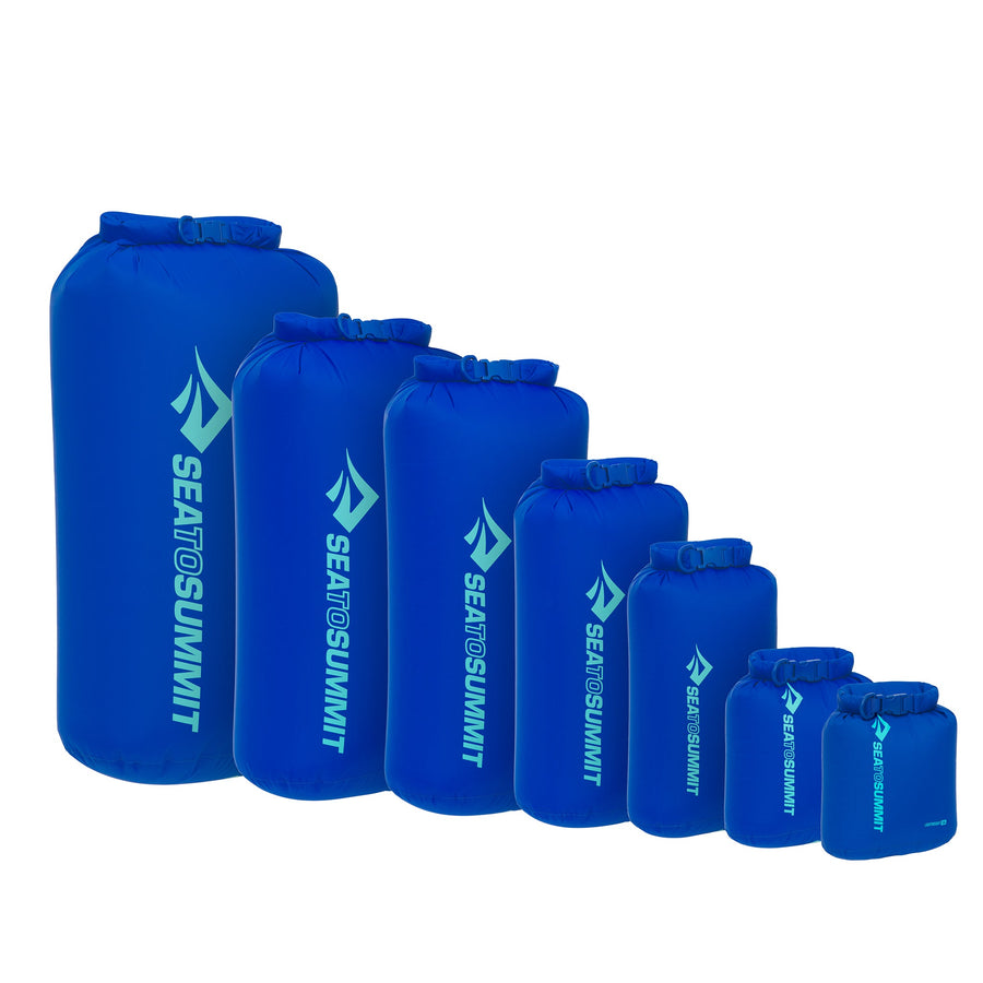
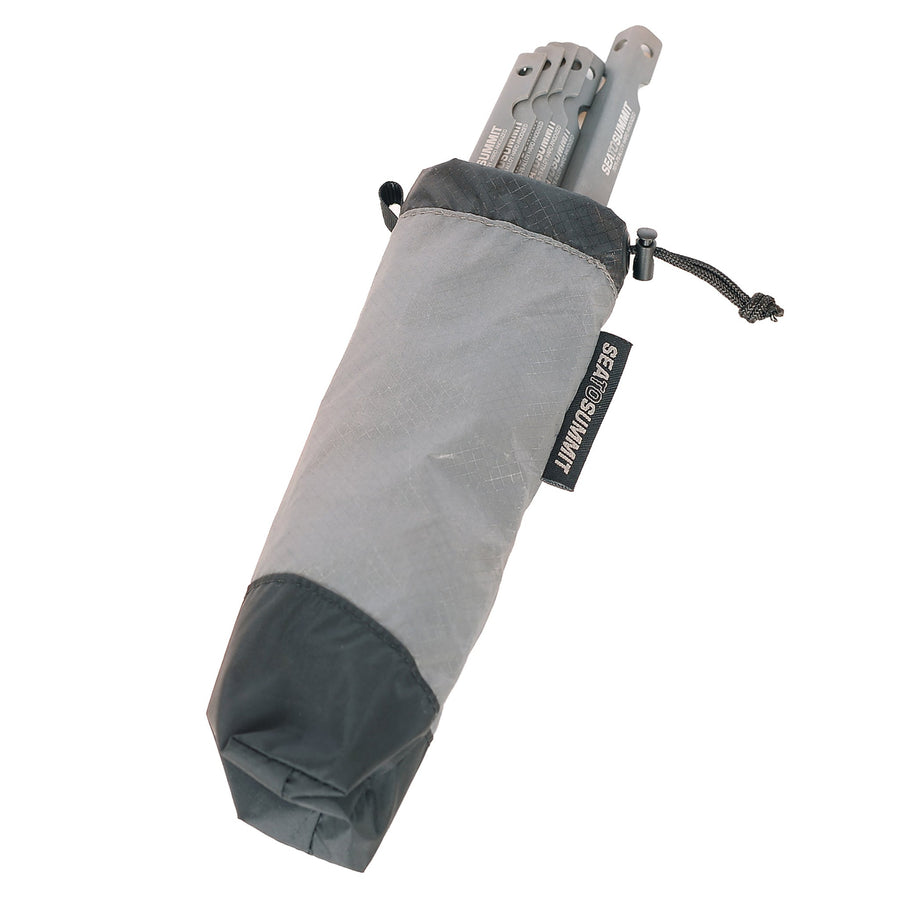
From the tallest to the most scenic, these top peaks offer something for everyone, whether you’re a seasoned mountaineer or a beginner hiker. Before setting out, you'll also want to make sure you're prepared and equipped with the right gear. Keep your equipment protected and organised with our range of dry bags, electronics protection and waterproof cases.
Disclaimer: Whilst this article provides an overview of popular hiking routes, more research and planning is required. Walking times have been calculated based on continuous walking - additional stop-offs for lunch, taking photographs etc. need to be taken into account when planning your hike.
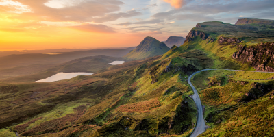
Ben Nevis
Lochaber, Scotland

Climb Height: 4,412 ft
Avg Time Taken: 5-8 hrs
Difficulty Rating: Beginner to advanced
As the UK’s highest peak, Ben Nevis is at the top of many adventurers’ bucket lists. Located in the Highland region of Lochaber next to the scenic fishing town of Fort William, this iconic mountain offers a challenging trek with multiple routes to suit beginner and advanced hikers.
Not to be underestimated, the hike to and back down from the summit requires advanced navigation skills. There's always the risk of being on the summit in clouds which poses a danger of falling.
Ben Nevis Photo Opportunities
The summit offers stunning panoramic views of the surrounding areas and mountain ranges that stretch to the horizon. However, it can get quite cloudy at the top so it’s a good idea to check the weather forecast when planning your ascent.
From crystal clear reservoirs to natural waterfalls, every route up Ben Nevis is packed full of hidden gems and viewpoints to capture incredible snapshots of your hike.


Ben Nevis Routes
A look at some of the most popular Ben Nevis hiking routes.

The Mountain Track
Starting point: Glen Nevis Visitor Centre
Distance: 17km
Walking time: 7+ hours
Summary: Previously named the Tourist Path, this route was renamed so it didn’t sound too easy. The route offers a challenging hike for first-timers, featuring steep inclines and rocky paths. Ideal for group walks and photographers, the Mountain Track offers beautiful views of rolling hills and winding lochs.
The Carn Mor Dearg Arete
Starting point: North Face Car Park
Distance: 18km
Walking time: 8+ hours
Summary: Known for being a calf killer, the CMD is the route of choice for experienced hikers or those looking for an intense physical challenge. Starting out at the North Face Car park, this route offers a circular route to the summit with a river crossing and challenging terrain on an exposed arete.
The Ledge Route
Starting point: North Face Car Park
Distance: 8km
Walking time: 5-6 hours
Summary: This grade 1 scramble offers a much quicker but challenging route to the top. Good route finding skills are required - you’ll face steep inclines and unforgiving terrain, and it’s also common to come across patches of snow and ice year-round. For experienced hikers looking to beat their climb time, the Ledge Route is a must.
Plan your hike: Ben Nevis routes
Scafell Pike
Cumbria, England

Climb Height: 3,209 ft
Avg Time Taken: 3-6 hrs
Difficulty Rating: Intermediate
Despite being the smallest of the National Three Peaks, Scafell Pike has just as much to offer adventurers as its cousins in Scotland and Wales. Located in the heart of the Lake District, the summit is the highest point for 100 miles, providing hikers with spectacular views all year round. Scafell Pike is known for being one of the most challenging mountains in Britain so shouldn’t be taken lightly.
Scafell Pike Photo Opportunities
It’s no surprise that a mountain in the centre of the Lake District offers some of the most breathtaking views in the UK. The difficult scramble to the top doesn’t make it easy to take photos on the go but if you plan in enough time, there are plenty of great spots to stop and capture the scenery.


Scafell Pike Routes
Some of the most popular climbing routes for Scafell Pike.

From Wasdale
Starting point: Wasdale Head
Distance: 8.7km
Walking time: 3-4 hours
Summary: This popular route is often the trail of choice for hikers tackling the National Three Peaks Challenge. Starting out at the Wastwater car park, it will take you through Lingmell Gill and past Hollow Stones before the incline turns steep. The paths along this route aren’t always clearly defined, especially if it’s misty, so planning ahead is essential.
Corridor Route
Starting point: Wasdale
Distance: 7.7km
Walking time: 3-4 hours
Summary: This route also starts out in Wasdale but follows a different path through Sty Head and around the north side of the peak. The Corridor Route offers stunning scenery while still only taking around 4 hours to complete, making it ideal for photographers who want to keep their climb time down.
From Borrowdale
Starting point: Seathwaite Farm
Distance: 15km
Walking time: 6+ hours
Summary: Hikers looking for a full day’s walk, this route offers a challenging but rewarding round trip to the summit with plenty of idyllic scenery along the way. After setting off from Seathwaite Farm, the route will take you south across Stockley Bridge, through woods and past Taylorgill Force waterfall. There are plenty of photo opportunities on this route but the paths can become rough and indistinguishable at points.
Plan your hike: Scafell Pike routes
Snowdon
Gwynedd, Wales

Climb Height: 3,560 ft
Avg Time Taken: 5-7 hrs
Difficulty Rating: Beginner/Intermediate
As one of the UK’s most popular natural landmarks, Snowdon attracts thousands of hikers every year. Despite being Wales’ tallest peak, it is an ideal challenge for beginners thanks to its selection of well-defined paths. Situated in the heart of the Snowdonia National Park, the summit offers incredible views of the Welsh wildlands. This is a perfect choice for family walks and often hosts charity group hikes.
Snowdon Photo Opportunities
With six different routes to choose from, Snowdon is a treasure trove of photo opportunities. You could hike this peak again and again, still finding new viewpoints. The mountain is steeped in history and used to be part of a mining transport route in the early 1900s so you can still find remains scattered around the paths.


Snowdon Routes
Popular walking routes for Snowdon.

Llanberis Path
Starting point: Victoria Terrace
Distance: 14.4km
Walking time: 5-6 hours
Summary: As the longest of the six available routes, Llanberis Path is ideal for hikers who want to explore the area and discover the natural beauty that Snowdonia has to offer. The path is the most straightforward but by no means easy. The long distance makes it a physical challenge for beginners but offers the biggest reward when you reach the summit.
Watkin Path
Starting point: Point Bethania Bridge
Distance: 12.9km
Walking time: 6-7 hours
Summary: Known for being the toughest route to Snowdon’s summit, the Watkin Path features steep inclines, rocky paths and a final scramble that even the most avid hikers shouldn’t take lightly. If you’re looking for the most challenging route, this is it. But that’s not to say there aren’t still incredible views to be found.
Miners Track
Starting point: Pen-y-Pass
Distance: 12km
Walking time: 5-6 hours
Summary: Named after the miners that used to transport copper across the face of the mountain to Caernarfon, this path is a must for photographers and history lovers. Along the route, you’ll find old remains of tracks and mining equipment scattered amongst natural pools and stunning rock faces.
Plan your hike: Snowdon routes
Pen y Fan Brecon Beacons, Wales

Climb Height: 2,907 ft
Avg Time Taken: 2-4 hrs
Difficulty Rating: Beginner
This idyllic peak in South Wales offers a chance to explore the beautiful surroundings of the Brecon Beacons National Park. The relatively short hike time and steady incline make it ideal for beginners but the terrain can still be challenging, particularly during the colder months. Pen y Fan is often used as a training location for British Special Forces so hikers can sometimes catch them in action.
Pen y Fan Photo Opportunities
There are few mountains and peaks around the UK that look equally as breathtaking all year round but Pen y Fan is definitely one of the exceptions. The winding pathways along the peak cut into the skyline and look stunning from any angle. Along the four different routes, you’ll discover streams, rock formations and landscapes to snap photos of.


Pen y Fan Routes
The most popular routes to climb Pen y Fan.

The Main Track
Starting point: Storey Arms
Distance: 6.4km
Walking time: 2-4 hours
Summary: This straightforward route is ideal for beginner hikers looking for a new challenge. The clearly marked paths lead you up a steady incline to the top of the peak where you’ll be rewarded with beautiful views of the Brecon Beacons. This route is often referred to as The Motorway for its popularity so expect a lot of foot traffic.
Horseshoe Ridge
Starting point: Lower Neuadd Reservoir
Distance: 15.3km
Walking time: 6-8 hours
Summary: For those in search of a full day hike, the Horseshoe Ridge lets you tick off four different peaks in one walk. The 15.3k round trip takes you across the 4 main peaks of Brecon Beacons- Pen y Fan, Fan y Big, Cribyn and Corn Du. This is a challenging route with plenty of sharp inclines and rewarding scenery.
Plan your hike: Pen y Fan routes
Great Gable Cumbria, England

Climb Height: 1,560 ft
Avg Time Taken: 2-4 hrs
Difficulty Rating: Beginner
Known for its iconic pyramid shape, Great Gable is one of the most popular peaks in the Lake District. Situated in the centre of the National Park, the summit offers hikers sweeping panoramic views in every direction. There are multiple ways to tackle this ascent which is why many people return to try different routes and experience new views of the surrounding countryside. The steady gradients make for a comfortable climb that’s ideal for beginners and group hikes.
Great Gable Photo Opportunities
As you make your way up to the summit, you’ll be rewarded with views of breathtaking landscapes and rolling green hills, but some of the best photo opportunities come before you even start your ascent. Venture to the village of Wasdale and you’ll find the best views of Great Gable’s striking peak cutting into the skyline. It’s hard to find a bad angle of this iconic mountain which is why it's a favourite amongst photographers.


Great Gable Routes
The best Great Gable hiking routes.

The Breast Route
Starting point: Sty Head
Distance: 5.1km
Walking time: 2-4 hours
Summary: This straightforward path to the top of Great Gable is the route of choice for beginners and casual hikers. It offers a steady incline and clearly defined path, making it ideal for an afternoon walk any time of the year. There are stone waymarkers along the route as well as memorials and historic plaques.
Via Gillercomb
Starting point: Seathwaite
Distance: 4.2km
Walking time: 2-3 hours
Summary: Starting out from the same point in Seathwaite, this more direct route to the summit offers much more striking scenery. The path takes you past Gillercomb and along the mountain’s ridge where you’ll be rewarded with striking views of the valleys below.
Plan your hike: Great Gable routes
Getting ready for your hike…
Whether you’re hoping to improve your time for the Three Peaks Challenge or you’re planning to tackle your first ascent, it’s important to have the right equipment. Sea to Summit offers a wide range of high quality camping and hiking equipment including storage sacks, accessories and field repair accessories. Browse the full product range and make sure you have everything you need when you’re out on the trail.